Archie One exceeds expectations in Gulfport, Mississippi
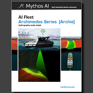
The National Oceans and Applications Research Center (NOARC) is a private, independent, non-profit corporation chartered by the State of Mississippi. NOARC projects focus on using unmanned airborne and waterborne vehicles to conduct coastal mapping and monitoring more effectively and at lower costs. The inshore, coastal regions of Gulfport feature a 1- to 3-km-wide discontinuous barrier ridge belt that borders the Gulf mainland shore. The seabed grades upward from poorly to moderately sorted shoreface sands to foreshore sand and dunes. Mythos AI and the National Oceans Applications Center (NOARC) recently conducted the initial sea trials of Archie, the first autonomous, real-time hydrographic survey system. Tests conducted in the Port of Gulfport verified system performance under operational survey conditions and met all NOARC expectations for coastal navigation and engineering projects’ surveys. David Brannon, President of NOARC, congratulated the Mythos AI team on their accomplishments.
“Mythos has delivered the complete hydrographic survey system for coastal projects. The optionally-piloted aspects of Archimedes makes it flexible enough to navigate congested waterways to arrive at a project site. Then survey autonomy takes over and produces precision, hydrographic data in real-time. Precision, real-time data on demand is a game changer for our work.”
Mythos AI is the first to design, engineer and deploy an autonomous hydrographic survey vessel built for congested inshore waterways. The company is in talks with both public and private stakeholders operating in the maritime economy to bring digitization and autonomy to the shipping industry.


